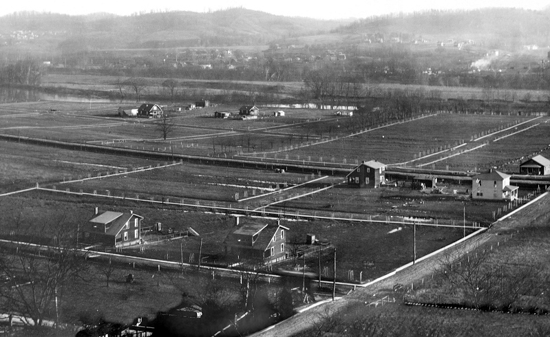
NORTH CHARLESTON
This is what North
Charleston looked like in 1920. The first thing to notice on the
left is that the Patrick Street Bridge hasnt been built. You can
just see the True Temper plant. In that area also is the old brick
plant kilns, round buildings where they fired the brick. Then as
you start towards the right you can see Blaine Island completely bare,
as it was used for farming at the time. Across the river is
Carbide and other plants. There are two sets of railroad tracks
in this photo. One (in the middle of the photo) was for trains
while the other was the Charleston Interurban Railroad (lower in the
photo). We believe that what would later become 7th Ave is just
out of sight on the other side of those raised tracks. The one
thing we havent determined is the hundreds of "white wickets" that seem
to line every piece of property. Even upon close examination,
it's impossible to say what they are and why they're there.
Maybe someone knows?
|
|
Click
here for the very large panorama.
( 1.26 mb )

Photo courtesy of the city of Charleston
BACK

