Corridor G Near Oakwood Road Photos
Here
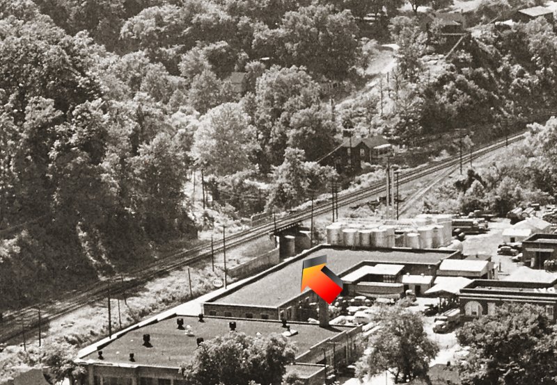
are a few photos of Corridor G under construction in 1984. I am
hoping to locate more photos, especially the Ferry Branch area, and
also the Southridge area. In the meantime, here are some
photos of the Oakwood Rd, Lucado, and Greenmeadow Roads area....
|
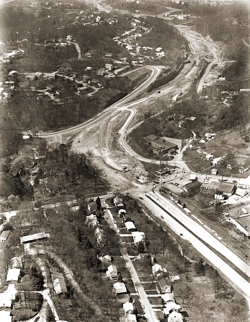
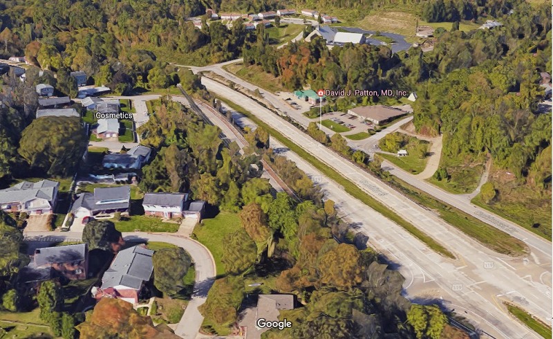
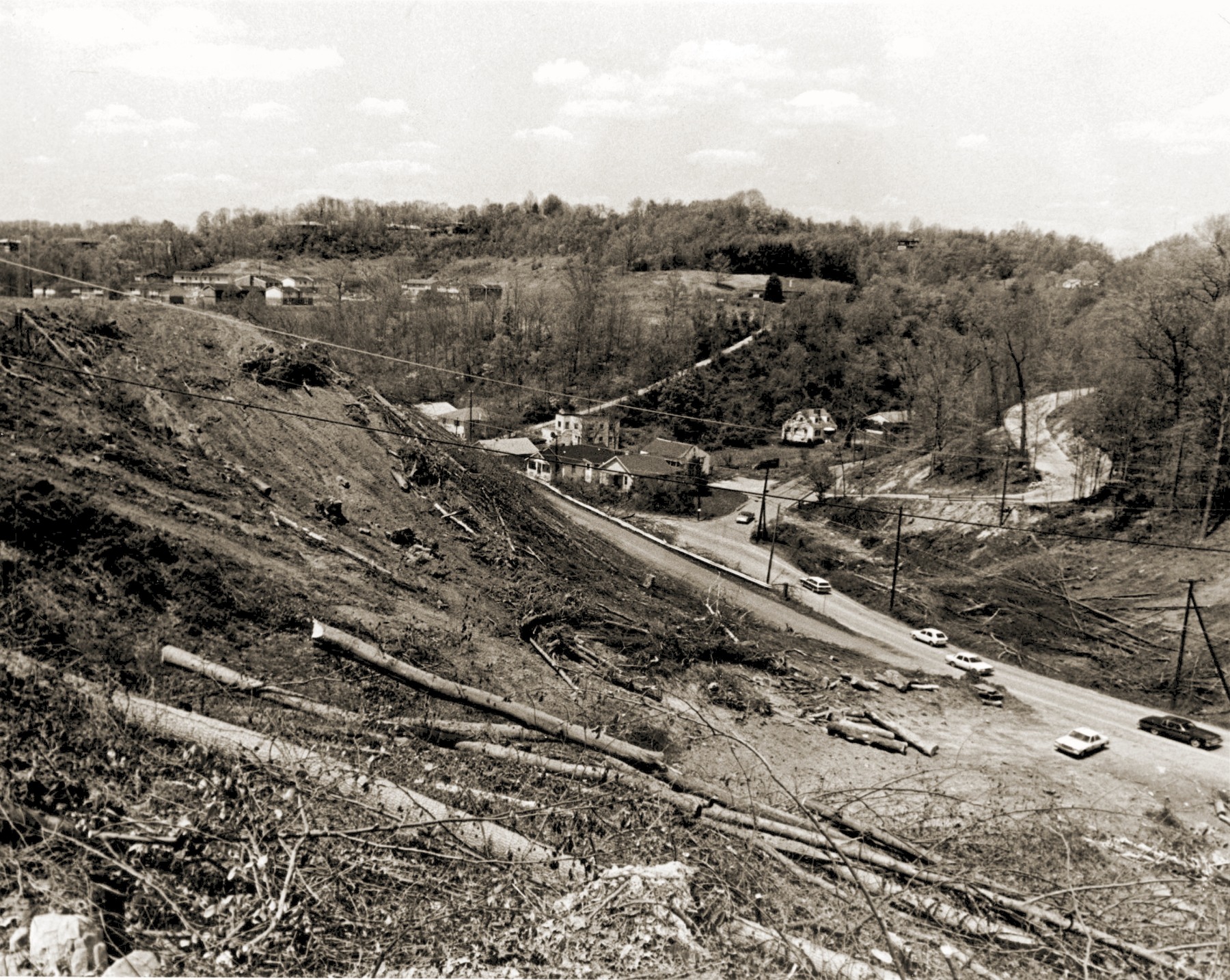
Intersection of Corridor G and Oakwood Road
In the foreground you see Oakwood Rd, Sherwood Road, and Alta Road.
See larger photo HERE
Today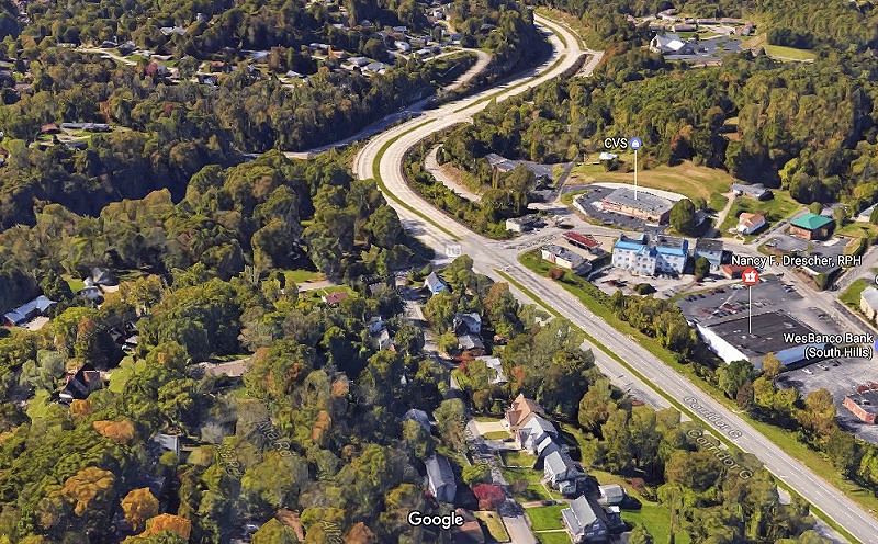
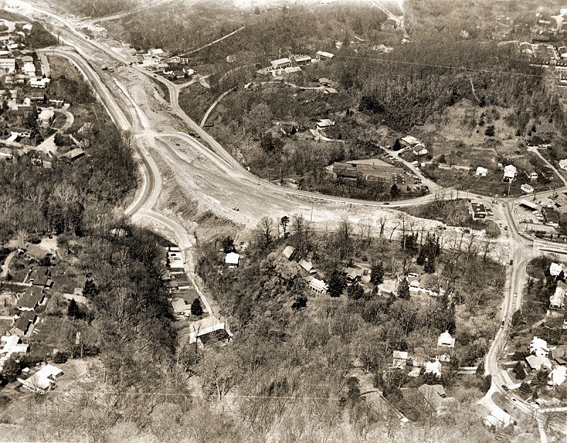
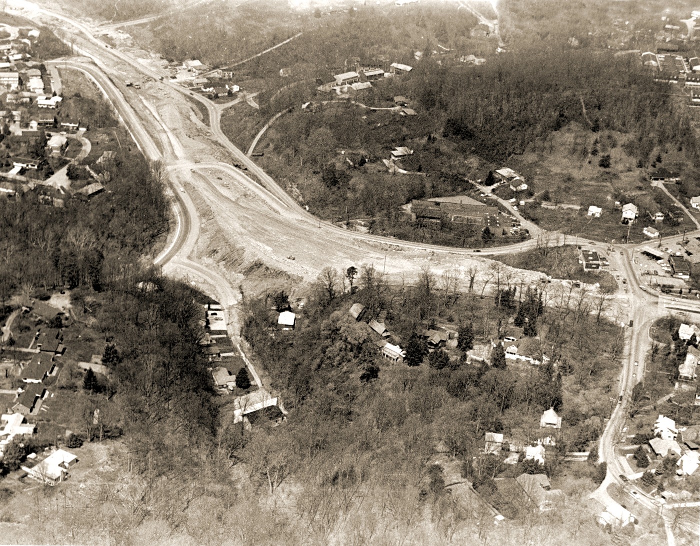
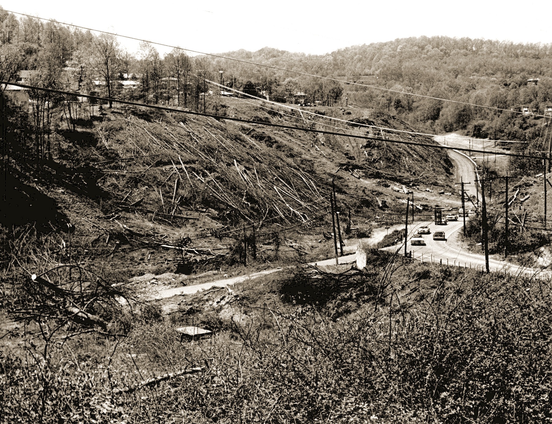
In this shot, Oakwood Rd is to the right, while Lucado Rd is to the left.
See larger photo HERE
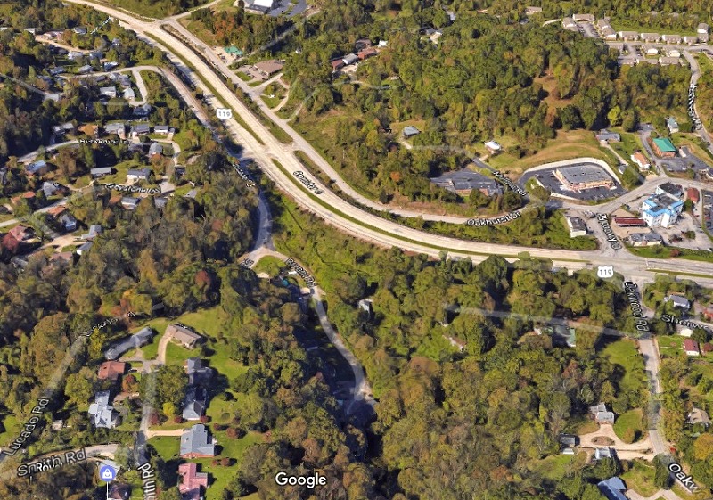
Today

Oakhurst Rd and Greenmeadow Rd
See larger photo HERE
Today
 Oakhurst Rd and Lucado Rd.
See larger photo HERE
Today
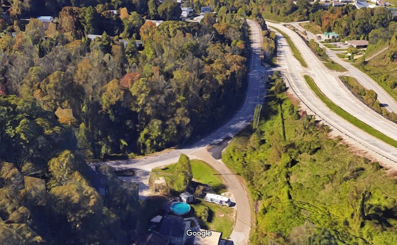
 The arrow points to the underpass that we had to travel to go South, before Corridor G was built.
Photos courtesy of DOH Collection, West Virginia State Archives
Corridor
G is a highway in the U.S. states of Kentucky and West Virginia. It is
part of the Appalachian Development Highway System, encompassing US 119
for its length. At the southern terminus of Corridor G at Corridor B
(US 23/US 460/KY 80) near Pikeville, Kentucky, traffic can continue
along Corridor B towards Pikeville and Jenkins, where one can pick up
Corridor F (US 119) or proceed south on Corridor B (US 23) into
Virginia. At the northern terminus at Interstate 64 in Charleston, West
Virginia, one can pick up Interstate 77 and Interstate 79, along with
the West Virginia Turnpike. |
Back To Seventies-Eighties Index